New Initiative Brings Enhanced Apple Maps Coverage to Pedestrian Zones in Kuala Lumpur, Pulau Pinang, Johor, and Melaka
Starting this month, pedestrians across major Malaysian cities like Kuala Lumpur, Pulau Pinang, Johor, and Melaka will notice something new: Apple team members walking around with sleek, high-tech backpacks. Apple’s portable systems are designed to improve its Apple Maps platform. They collect data in areas where mapping vehicles can’t reach. This marks a new phase in Apple’s efforts, following years of vehicle-based data collection. During that time, Apple drove millions of miles worldwide, capturing imagery and LiDAR data to completely rebuild its maps.
Apple has already rolled out its updated maps in regions like Hong Kong, Taiwan, the United States, and the United Kingdom. Now, Malaysia is next in line. However, this time Apple is making a notable change. In addition to the usual data-gathering vehicles, the company is also using a portable backpack system to capture imagery and data in pedestrian-only areas.
High-Tech Mapping for Hard-to-Reach Places
Apple’s backpack system is a compact version of its vehicle-mounted mapping equipment. It’s designed for areas where cars can’t reach, such as parks, plazas, pedestrian streets, and transit hubs. The portable system features advanced LiDAR and imaging technology. This allows Apple to collect point-cloud data, contributing to highly detailed 2D maps. This enables Apple to map hard-to-reach places with the same precision it offers for drivable roads.
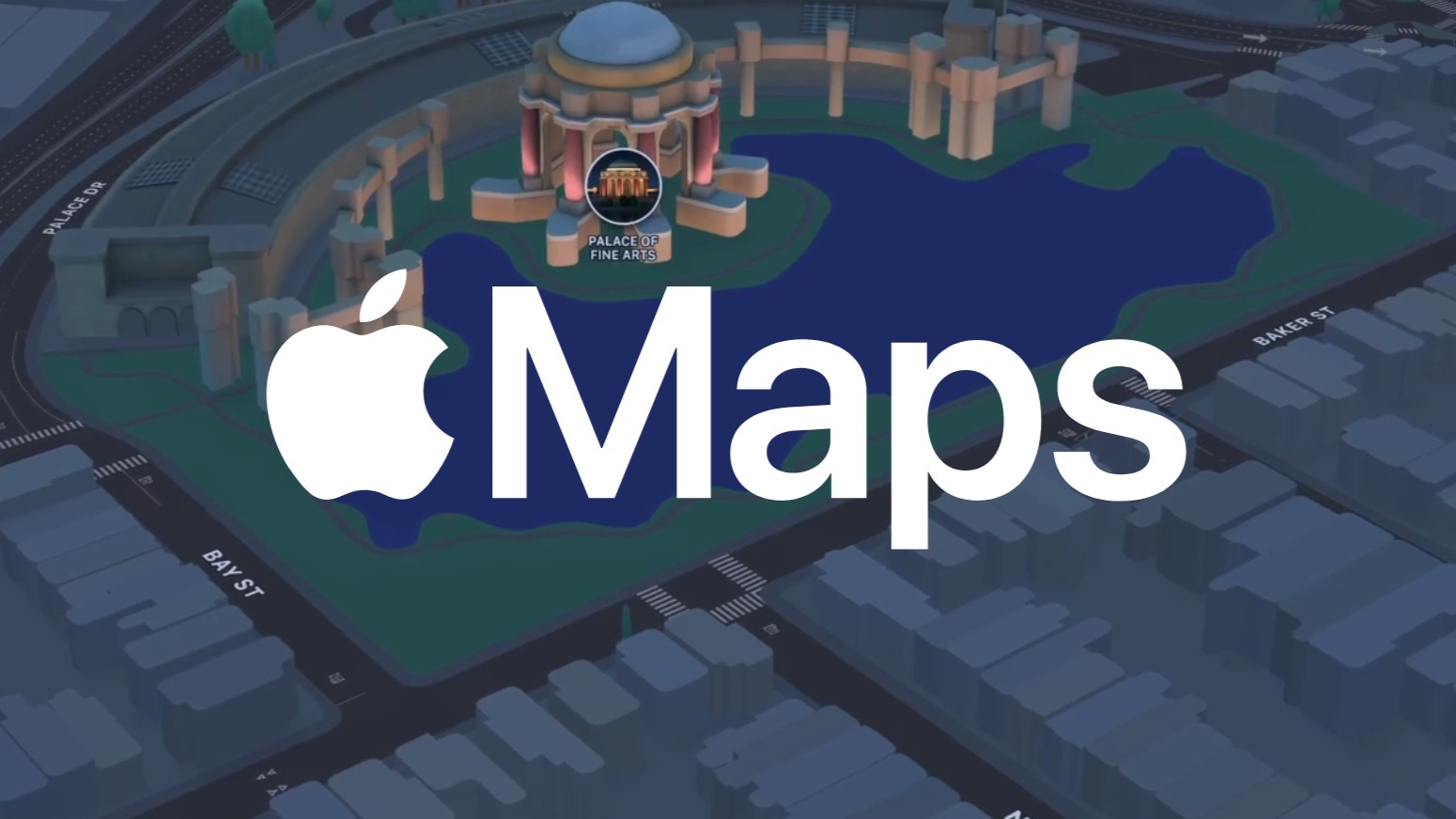
These backpack systems are now being spotted in Malaysia’s bustling city centres. As a result, they are meticulously collecting data to help enhance Apple Maps in areas beyond the reach of vehicles. Consequently, this effort will allow Apple Maps users to benefit from features like more accurate navigation and detailed representations of pedestrian zones. In addition, it will lead to improvements in its “Look Around” feature, which offers immersive street-level views similar to Google Street View.
Commitment to Privacy
As with its vehicle-based mapping, Apple is putting privacy at the forefront of its data collection efforts. The company reassures the public that images captured with these backpacks will follow strict privacy protocols. Specifically, this includes blurring faces and license plates. Moreover, these steps will be taken before any images appear in public-facing services, such as the Look Around feature.
“Apple is conducting surveys with portable systems in select pedestrian areas, such as certain streets in Kuala Lumpur that cannot be driven,” said Apple. “These pedestrian surveys allow us to improve and update Apple Maps in areas where vehicles simply can’t go, while using the same privacy protections as the Apple Maps vehicles.”
This dual approach combines vehicle and pedestrian data collection. It ensures that Apple Maps will continue to offer the highest level of accuracy and detail. Whether you’re driving, walking through a bustling plaza, or exploring a park, Apple Maps will provide reliable navigation.
A Global Rebuild, One Country at a Time
Apple’s current efforts in Malaysia are part of a broader global initiative to rebuild its Maps from the ground up. The company has rolled out its enhanced mapping system in many countries. It continues to expand to more regions each year. In Malaysia, the diverse urban and rural landscapes are now being mapped using this next-generation technology. Users can expect more detailed and accurate navigation tools in the near future.
For more information on Apple’s map data collection and privacy measures, visit the official website here.